
Franklin Neighbors by Parcel
A block lookup in Franklin is most reliable when it stays anchored to a parcel and its map context. The town's GIS and Assessors records describe parcels and assessment data. The street map establishes nearby roads. An abutter list is a municipal record for a defined property. Historical directories can add a past snapshot, while the town resource directory identifies public organizations rather than households. None is a complete directory of current neighbors.
| Block source | What it shows about the area | Access route |
|---|---|---|
| Franklin GIS / AxisGIS | Parcel geometry, adjacent land, roads, and public map layers | Town GIS gateway and map tools |
| Assessors property record | Assessment context, parcel location, record owner, and mailing-field distinction | Town-linked portal, Assessors office, or request |
| Assessors abutter list | Municipal abutter information for a defined parcel | Assessors and the OpenGov request route |
| Public voter information | Limited municipal registration fields, when lawfully requested | Town Clerk public-record route, subject to exclusions |
| Library and organization sources | Historic block context or public civic institutions | Library, Town resource directory, and Town organization directory |
An owner, a tax mailing address, and an occupant are separate record ideas. The map can show an adjacent parcel even when it is a road, public land, a school, a conservation area, a business, or land in another municipality. Keep the result framed as geography and record context.
Franklin Neighbor GIS Layers
Franklin's GIS Tools and Map Library links to AxisGIS, property cards, deeds, plans, printable maps, and an ArcGIS Online gallery. The public layer inventory includes voting precincts, school and zoning districts, trash pickup days, wetlands, FEMA flood areas, and MassGIS layers. Zoom, pan, measuring, graphics, and printing tools support a map review. Exact live search labels, required fields, export controls, and layer dates were not available in the research inspection.
Read each layer for its own purpose. A zoning layer is not a parcel boundary. A FEMA layer is not a field survey. A precinct can change after redistricting. The GIS map is valuable for placing a Franklin address among public features, but it does not prove a household composition or present residence.
Note: Save the layer name and inspection date when a map supports a civic or historic conclusion.
Franklin Neighbor Abutter Requests
When a municipal abutter record is needed, use the Town's defined request route instead of trying to turn a parcel map into a person list. The Assessors maintain maps, plans, property transfer records, valuation data, and abutter lists. The Town's Payments and Permits inventory lists an “Abutter's List Request,” but the research did not capture the live OpenGov form fields, fee, or processing time. A request should identify the parcel or property location and ask the Assessors what is available for the stated municipal purpose.
The Franklin Board of Assessors page is the official office route for property and abutter questions.
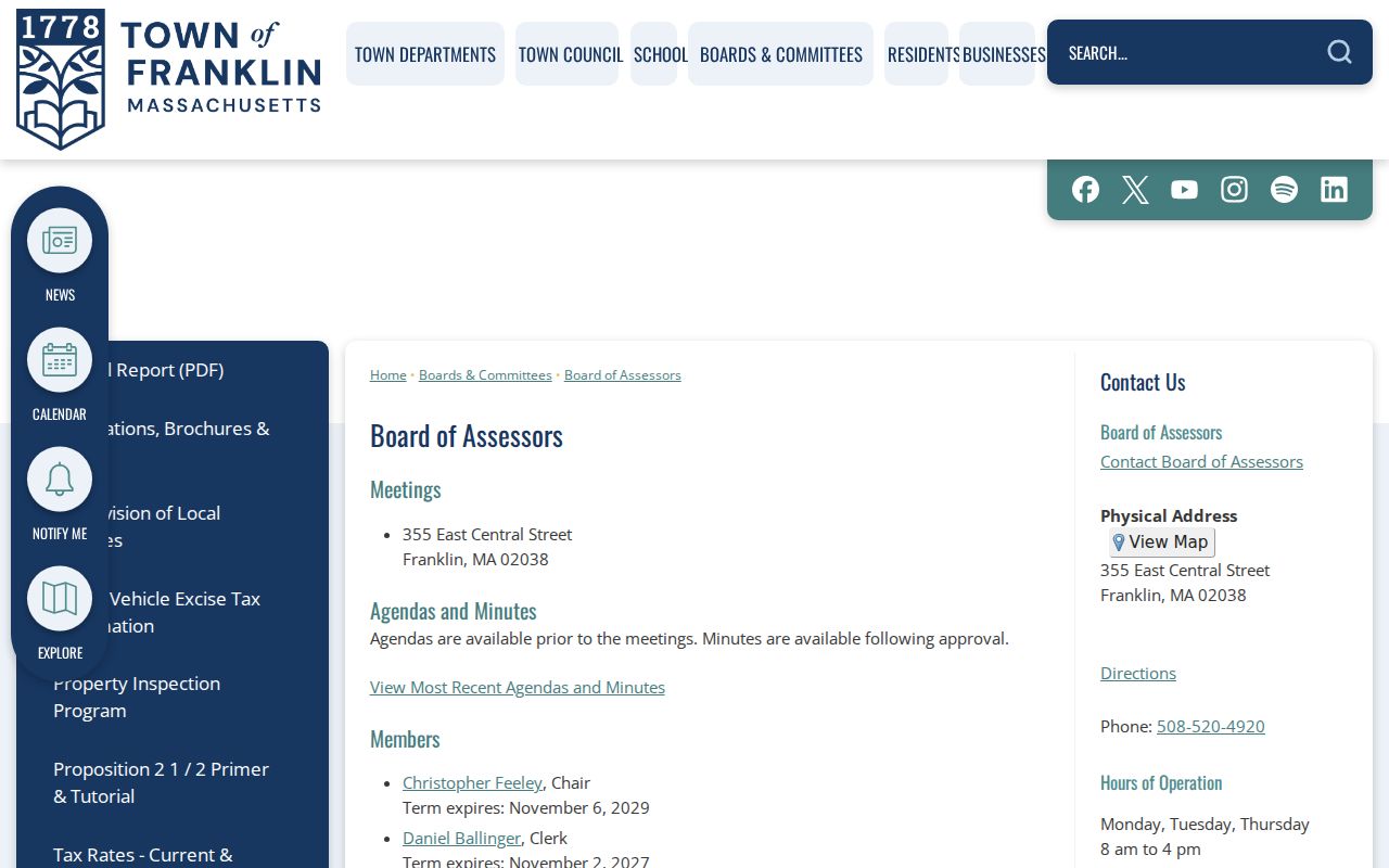
The Assessors office is at 355 East Central Street, Franklin, and lists 508-520-4920. A mailing-address-change form is signed by the known owner of record, so it is an administrative tax form rather than a resident self-report.
Map Franklin Neighbor Parcels
Use a short, repeatable parcel process for Franklin neighbors. Start at the exact street address. Verify its town label before comparing nearby parcels. Then stop when the map answers the geographic question. For a whole named street and its broader record trail, use the separate Franklin by-street directory rather than extending a block search beyond its purpose.
- Open the Franklin GIS gateway and locate the property by its street address or parcel reference where supported.
- Inspect the immediately adjacent parcels and public layers, recording the map context rather than creating a personal list.
- Use the property card only to distinguish parcel location, record owner, and tax mailing information.
- Ask the Assessors for a formal abutter record if that specific municipal record is needed.
- For historic context, compare the street with a dated map, Sanborn sheet, directory, or library source.
AxisGIS adjacency is geographic context. It does not establish that a named party occupies the parcel, and it does not reveal every relationship around a block. That is the reason the method follows parcels first and uses a formal request only when the record itself is needed.
Franklin Neighbor Voter Limits
Massachusetts separates a voter's status check from access to public voter-list information. The statewide status form asks for first name, last name, date of birth, residential ZIP, and an acknowledgment. It is for the voter or an authorized person in the voter's presence. A municipal public-record request is a different route. Franklin's Board of Registrars and Town Clerk maintain local voter lists and the annual street list.
Secretary guidance identifies public voter-list fields that may include name, address, party, date of birth, active or inactive status, and voter ID. Phone, email, confidential-voter information, and other protected fields are not public. Franklin's exact voter-file request form, available years, delivery format, and fee were not located. Ask the Town Clerk or use the Town Form Center for public fields only, identify the date or election, and request the Town's fee estimate.
Confidential voter rules cannot be bypassed by using a street list, status tool, or parcel map. A registration record is also not proof of current physical presence.
Franklin Neighbor Community Directories
Franklin has no official, comprehensive HOA or neighborhood-association directory in the research. The appropriate local substitute is the Town's public resource, organization, and Cultural District information. Those sources help a reader find public institutions, events, and community contacts without presenting a membership list. The Town resource directory offers category, name, alphabetical-letter, and search controls, and the inspected page displayed 37 local listings.
| Public resource | What the official material supports |
|---|---|
| Franklin Cultural District | A Town-described compact district with more than 25 arts and studio associations, designated in January 2019. |
| Town Resource Directory | Searchable local resource and business directory, not a household directory. |
| Town organization directory | Public listings for churches, clubs, fraternal, service, and cultural organizations. |
| Franklin Public Library and Historical Museum | Local-history materials, directories, maps, yearbooks, and public research contacts. |
The Town Resource Directory displays its category and name search controls for local public listings.
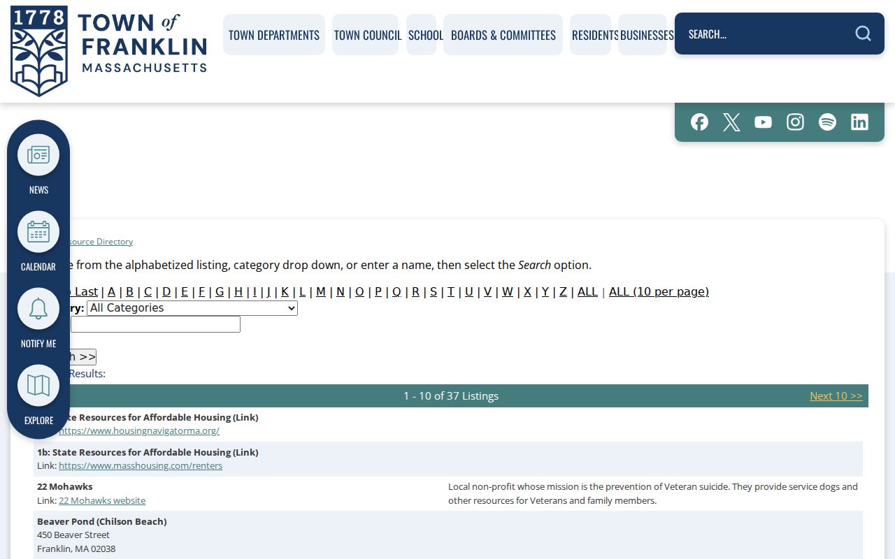
The image illustrates a community-resource route, not a roster. Specific organizations listed by the Town include the Newcomers Club, Rotary, VFW Post 3402, United Chamber, churches, Temple Etz Chaim, and Quattro Eroi Lodge, but the research did not locate membership lists.
Note: Contact a public organization through its published channel instead of inferring who belongs from a directory listing.
Franklin Neighbor Lookup Myths
The most common mistake is treating a property record as a current resident record. Franklin's GIS, Assessors records, and Norfolk deed records connect people and entities to parcels for distinct administrative or legal purposes. A deed can show an instrument party and date. A property card can show assessment and mailing fields. A historical directory can show what was printed in its year. Each can be accurate while still saying nothing about who is at an address now.
| Official record category | What it is good for | What it does not establish alone |
|---|---|---|
| Parcel map and property card | Land geography and assessment context | Current occupancy or a complete title history |
| Recorded deed | Instrument parties, legal description, and recording details | Current presence at a parcel |
| Public organization directory | Finding institutions and published contacts | Membership or household identity |
| Commercial neighbor-search category | General starting leads that require independent confirmation | Official, complete, or current information |
For a historic block, use Franklin Public Library's maps, directories, Sanborn sheets, valuations, newspapers, and the street-layout record as dated sources. The Library's street-layout item covers 1785-1921, and Sanborn sheets located in the research date from 1889, 1904, 1919, and 1927. Those sources tell a fuller historic story than a current-name claim.
Franklin's history also makes dates especially important. The town was incorporated in 1778, and the Library's long local record includes early maps, poll-tax lists, valuations, town meetings, cemetery indexes, and directories. A historic map can show a road or building footprint, while a current GIS layer shows present municipal geography. Put the repository, source year, and source type next to any conclusion so the record does not appear to speak for a different period.
Franklin Neighbor Permit Routes
Permits and municipal requests can add an address-specific event without identifying private people. Franklin's online-permitting material lists building, certificate of inspection, electrical, gas, occupancy, plumbing, planning, health, DPW, and other categories. The system may require an account for a new submission, and the research did not capture individual form fields, archive dates, payment screens, or a public result record. For an existing public record, contact the responsible department or use the appropriate public-record route rather than submitting a duplicate application.
Franklin's Payments and Permits page shows the Town's categories and links to the relevant municipal process.
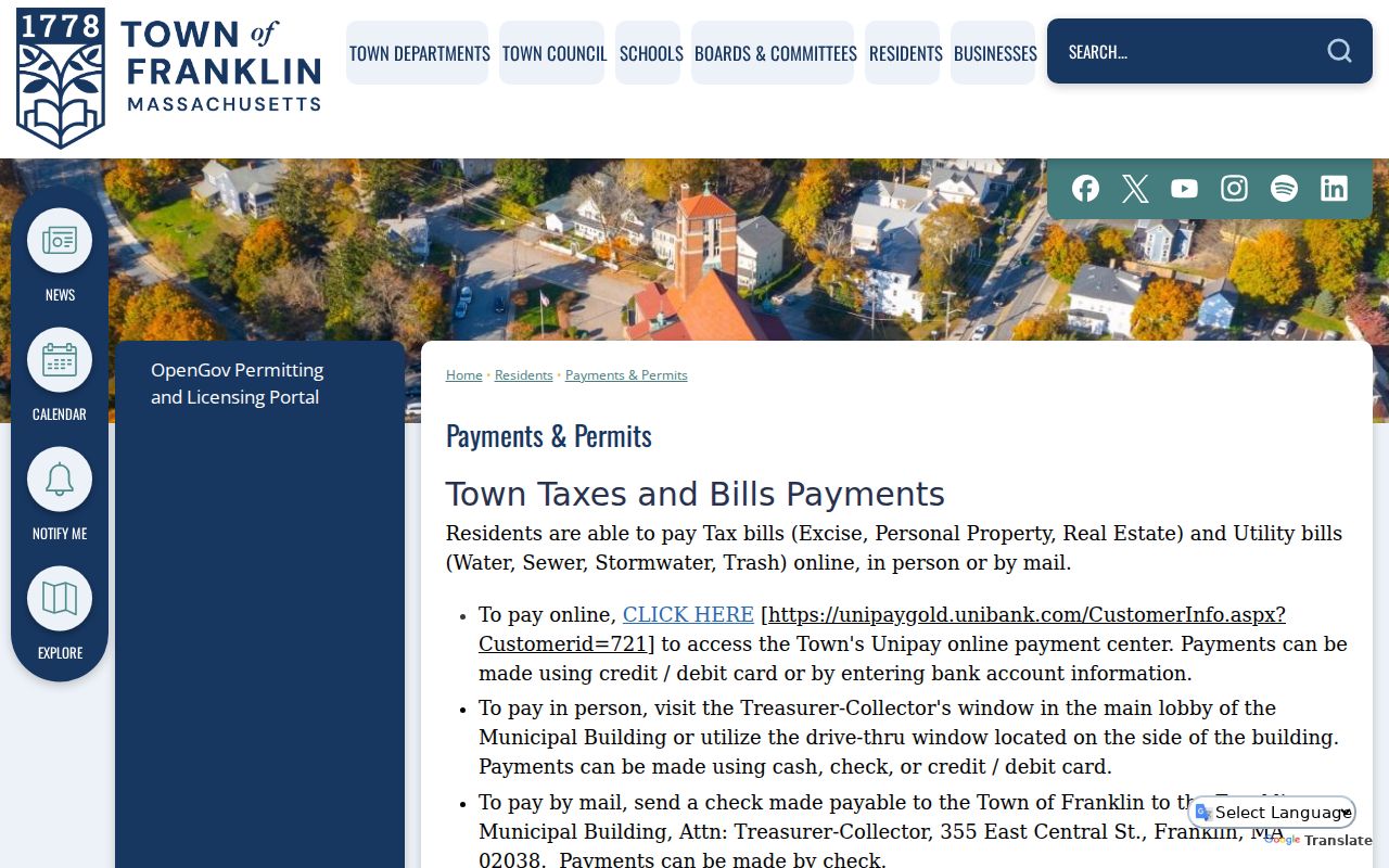
An address permit may indicate an application, inspection, or municipal event where public. It is not a block roster and does not resolve occupancy.
Franklin Neighbors and Privacy
Massachusetts protections matter at block scale. The Secretary's Address Confidentiality Program supplies a designated address and mail forwarding for eligible participants. Confidential-voter rules shield certain voter information. Court records can be sealed or limited, vital records have their own access rules, and RMV address records are not a general public directory. Do not combine map, deed, voter, utility, or delivery fragments to expose a protected address.
Use public map and civic information for personal, lawful neighborhood questions, historic research, and local awareness. If a record is restricted, stop and use the official access route. For immediate safety concerns, contact local emergency services or law enforcement rather than using a parcel or directory search.
Lawful use. Franklin neighbors research must respect protected information. Never use a map, record, or directory to stalk, harass, threaten, impersonate, or contact a protected person.