
Walk Franklin Streets by Address
A Franklin street search begins with geography, not a name. Copy the address exactly, including any directional term, unit, and ZIP. Use the Town’s printable street map and index to place the road, then use the GIS Tools and Map Library to reach property cards, deeds, plans, and map layers. Compare the Town’s property location with the postal form and the legal description in an instrument. A parcel can have a different mailing address, and that difference should be labeled rather than treated as occupancy evidence.
- Check the exact Franklin address in the Town map and GIS route. Save the parcel identifier, map layer, and date viewed if the application displays them.
- Read the assessor record as an assessment source. Separate the property location, record owner, and tax mailing address in the notes.
- Search the Norfolk Registry research portal by owner name and Franklin, then match the deed’s legal description or plan reference to the parcel.
- For voter information, use the state status tool only for the voter or an authorized person. A broader municipal list requires a request to the Franklin Town Clerk, with confidential fields excluded.
- For older household evidence, consult the dated Franklin directories and resident lists. A separate reverse or criss-cross run was not located in the official research, so ask library reference staff before assuming one exists.
That sequence keeps each result tied to what its record actually reports. It also prevents a map label or a party to an old deed from being turned into a statement about a living person.
Franklin GIS Street Layers
The Town’s Geographic Information System page connects visitors to AxisGIS and the ArcGIS Online map gallery. The GIS Tools page identifies property cards, deeds, plans, and public layers for voting precincts, school and zoning districts, trash pickup, wetlands, FEMA flood areas, and MassGIS. Those layers supply different kinds of Franklin street context. A precinct can change after redistricting, while a flood layer is not a survey and a zoning layer is not a parcel boundary.
The Town GIS page shown below is the official entry point for map work in Franklin. It shows why the map route should come before a name search: the address, parcel context, and civic layers can be checked without combining personal data.
Franklin’s GIS page links the public to its mapping services.
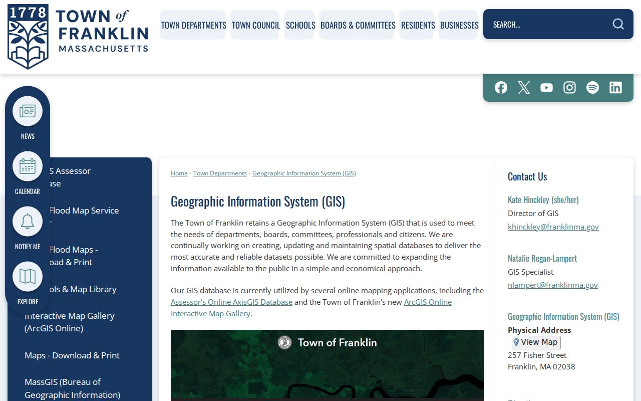
Use the linked GIS route to compare the address with the parcel and relevant layer, then preserve the layer name and inspection date with any Franklin street note.
Note: Franklin’s public layers provide geographic context, not a current household list or a substitute for a survey.
Franklin Parcel Cards by Address
The Franklin Board of Assessors maintains valuation and classification information, assessors’ maps, plans, property-transfer records, valuation data, and abutter lists. The office is at 355 East Central Street and provides an office and written-request fallback when a portal result is incomplete. The research confirms that AxisGIS or Patriot Properties is the Town-linked entry for property information, but it did not expose the live form labels or the current fiscal-year field list. That gap matters. Keep it visible rather than creating a fictional property-card sample.
| Franklin search field or feature | What is documented |
|---|---|
| Street or property location | Identified as a likely property-search key in the Town’s GIS and assessor route. |
| Parcel or map/lot identifier | Identified as a likely key; the assessor mailing-address form uses a 12-digit parcel ID in four segments. |
| Map layers | Town guidance documents parcel, precinct, zoning, school, trash, wetlands, FEMA, and MassGIS layers. |
| Owner name | May be available in the application, but its exact live field label and requirement were not confirmed. |
| Fiscal year and displayed card fields | Not located in the official text inspection. Confirm in the live portal or with Assessors. |
A record owner and a tax mailing address are administrative fields. The owner-signed mailing-address form is not a self-report of residence. When a particular card is needed, request the card or a specified assessor-held record through the office or the Town’s Form Center.
- Parcel
- A mapped unit of land used in assessment and map systems. It may change when land is divided or combined.
- Situs address
- The property location used to identify a place. It is different from a tax mailing address.
- Plan
- A recorded drawing that can show lots, streets, or other land relationships. It should be read with the deed reference.
- Criss-cross directory
- An address-to-listing directory. No separate Franklin run was confirmed in the researched official sources.
Norfolk Deeds for Franklin Streets
The Norfolk County Registry of Deeds, not a Franklin County office, keeps Franklin’s recorded land instruments. Its online research route offers Free Access and Log in options, and its deed-search guidance asks for an owner name and town. A result can point to parties, instrument type, recording date, book and page or document number, legal description, and plan references. Recorded and registered land can coexist in a parcel history, so a missing result from one route does not close the inquiry.
NorfolkResearch is the Registry’s official search entry and displays the owner-name and town approach.
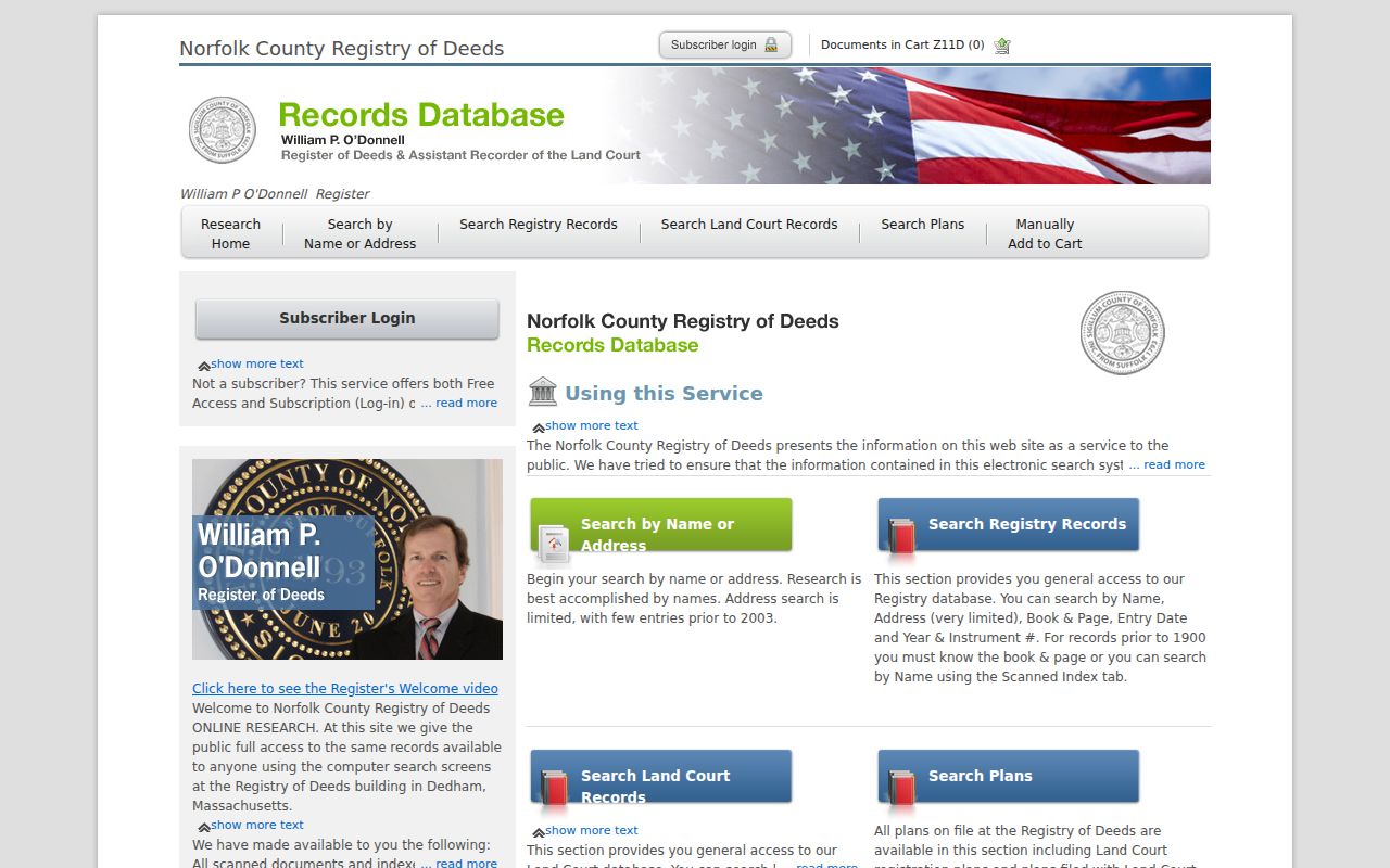
The portal image supports a deed search by Franklin and owner context, while the document itself should supply the legal description and any plan reference used to match a street address.
The online index’s first year and complete historical boundary were not located in official sources. If a result is inconclusive, contact Registry customer service or visit the Registry with the street address, owner name, town, and any known book, page, or document number. The Registry states that a non-official print is free, while official-copy printing requires a subscription; its FAQ lists copy options for mail and counter requests.
Historic Franklin Street Records
The Franklin Public Library’s local-history collection supplies an address trail that is dated rather than assumed. It includes town maps from 1795, 1832, and 1876; Sanborn maps from 1889, 1904, 1919, and 1927; valuation materials from 1868, 1889, 1896, 1929, and 1940; and the Town record titled “Record Of Laying Out Of Streets Franklin, Mass. 1785–1921.” Sanborn sheets can show a building footprint, material, use, and nearby structures only within the mapped sheet.
The street-layout record can help identify an older road or layout date. It does not prove a present renumbering or name change. No complete Franklin renumbering or renaming history was located in this research, so any claimed bridge between an old and current address needs a page or image citation from that record, the Town Clerk, Assessors, or GIS. The Franklin Public Library digital collection is the documented starting point for those dated sources.
Franklin Address Records Compared
Each address-keyed source answers a separate Franklin street question. The comparison matters because a deed is a legal instrument, a property card is an assessment record, a Sanborn sheet is a historic map, and a permit is an agency record. Start with the source that matches the date and question, then label the result by source and date instead of merging it into a single residence claim.
| Address record | Franklin or county keeper | What it can show | Access and documented limits |
|---|---|---|---|
| Assessor property card | Franklin Board of Assessors | Property location, parcel ID, assessment context, and fields exposed by the card | Town-linked portal, office, or request route; fiscal-year coverage not located |
| GIS parcel layer | Franklin GIS | Parcel geometry, map context, adjacent parcels, and civic layers | AxisGIS and GIS tools; current layer dates not located |
| Deed index and images | Norfolk Registry of Deeds | Instrument parties, date, type, book/page or number, legal description, and plans | Free Access/Login with counter or staff fallback; online cutoff not located |
| Permits and public-way records | Franklin Building, Inspections, and DPW | Public permit, inspection, utility, excavation, or stormwater history where retained | OpenGov and department request routes; archive dates not located |
| Historic maps and directories | Franklin Public Library | Dated street, building, valuation, business, or listing context | Named collection years vary by item and mapped coverage |
| Abutter request | Franklin Assessors / OpenGov | Municipal abutter information for a defined parcel | Formal request route; exact form fields and fee not located |
Address research works best as a record map, not a combined profile. A change in parcel lines, building use, postal ZIP, or ownership can explain why two sources differ.
Franklin Permit and Abutter Routes
Franklin’s Building and Inspections route uses Online Permitting and the Town’s OpenGov gateway for permit, license, and property-record submissions. The Town also lists an Abutter’s List Request through its payments and permits materials. These are agency channels, not proof about who occupies a property. The inspected pages did not expose the exact OpenGov field list, fee, or historical permit start date, so a specific request should name the address, record type, date range, and preferred inspection or copy format.
For a map-based abutter question, the Assessors’ list is the formal municipal route. For a public-way, water, sewer, excavation, or stormwater record, direct the request to the relevant department. Franklin’s public-records route allows a written request when a page does not supply the needed record. Massachusetts guidance generally calls for a response within 10 business days and describes the first four staff hours as free, subject to the statute’s fee rules and exceptions.
Note: The researched sources do not state a Franklin permit-archive start date, so confirm the available date range with Building and Inspections.
Franklin Postal Address Checks
USPS identifies Franklin, Massachusetts 02038 in the municipal materials inspected, but a ZIP is a delivery construct rather than a town boundary. Use USPS ZIP Code Lookup to verify the exact postal form, then compare it with the Franklin parcel location. USPS offers address-to-ZIP, city-and-state, and ZIP-to-city modes and warns that a ZIP result does not confirm that a person or company is at an address.
That warning is especially important for Franklin address research. A postal city, assessor mailing address, legal description, and map location can differ without any source being wrong. Keep the field labels separate and check the exact address instead of treating 02038 as a full-town resident filter.
Franklin Street Directory Limits
A property owner, deed party, tax mailing address, or historical directory entry is not automatic proof of a current resident. Massachusetts voter-status verification is restricted to the voter or an authorized person, and a municipal voter-file request must respect confidential-voter protections. The statewide guidance says phone, email, and confidential-voter information are not public. RMV address information is also not a general directory source.
Franklin address research should stop when a record is protected, sealed, or outside the public route. The Massachusetts Address Confidentiality Program and confidential-voter rules exist to protect eligible people and their locations. Use the least sensitive record that answers a property, family-history, civic, or estate question. A commercial category of person-finding tools cannot replace the source date, custodian, or legal limits found in official records.
Lawful use. Use Franklin street records for personal, civic, family-history, or property research. Do not use an address, map, or historical entry to stalk, harass, threaten, or contact a protected person.
Franklin Street Research Requests
When the map, assessor, Registry, or library portal leaves a gap, send the request to the custodian that holds the record. The Assessors can address property cards, maps, and abutter information; the Registry can help with a deed or plan search; Building and Inspections can clarify a permit record; and library reference staff can help locate a dated map, directory, or street-layout item. State what street address, town, record type, and date range are being sought, and ask whether inspection, a copy, or a certified copy is appropriate.
For a municipal record, the Franklin Form Center is the documented general request path. Court files follow separate Trial Court public-access rules, and deed or plan questions remain with Norfolk Registry channels. Results are strongest when each stays with its agency, date, and access limit.