
Franklin ZIP Coverage
Official municipal material and the inspected state statistical material identify Franklin, Massachusetts 02038. That is the primary ZIP confirmed for the Town. The research did not locate official evidence assigning another ZIP to Franklin as a complete town-wide answer. Nearby communities can use a different postal city or delivery area, and an edge address should be tested with USPS rather than added to Franklin coverage by assumption.
| ZIP | Areas covered in official sources | Post office or postal city | Research note |
|---|---|---|---|
| 02038 | Franklin, Massachusetts, in official Town addresses and inspected state material | Franklin, MA postal city | Primary ZIP identified for the Town; verify edge addresses with USPS |
| Other ZIPs | Not located in official sources as assigned to the Town of Franklin | Not located | Do not add nearby postal areas without an exact-address or USPS result |
This is deliberately a coverage table, not a list of people or households. The saved research did not include a complete city-and-state USPS response, so it cannot support a claim that no other ZIP reaches a particular boundary address.
Verify a Franklin ZIP
The USPS postal lookup offers three relevant routes: ZIP by address, ZIP by city and state, and cities by ZIP. Use the exact street address when delivery formatting matters. Preserve the standardized result before comparing it with Town GIS or a municipal property record. USPS expressly warns that a ZIP result does not confirm that a person or company is at the address, which is why it should be treated as a postal check instead of a resident search.
The USPS lookup form shown here is the official starting point for Franklin postal verification.
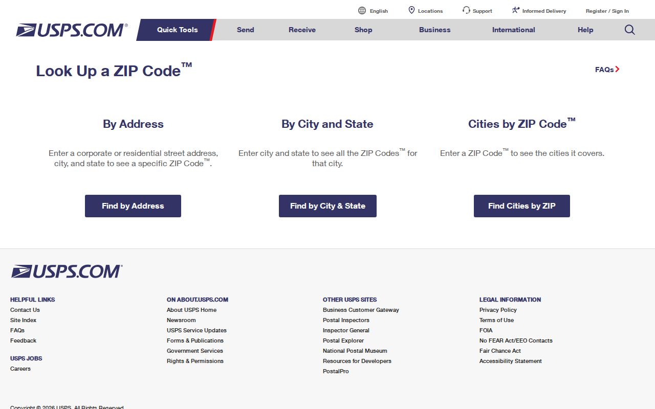
For a boundary question, compare a central address and an address near the town edge. Record only the resulting postal geography, then use the Town's records for the separate parcel or municipal question.
Note: Postal formatting can be useful even when a historical record uses only a street and town because ZIPs were not part of older directory entries.
USPS Fields for Franklin Addresses
The research captured the USPS form modes and labels, not a person-specific result. The inputs below are the documented fields for postal verification. They should not be confused with a confirmed ZIP filter on the Town's property portals, whose live fields were not available in the text inspection.
| USPS route | Documented fields | Required input noted | Use in Franklin research |
|---|---|---|---|
| ZIP by address | Company, street address, apartment or suite, city, state, ZIP | Use the complete delivery address when known | Checks postal formatting for one address |
| ZIP by city and state | City and state | City and state required | Checks the postal lookup's city-state route |
| Cities by ZIP | ZIP | ZIP required | Checks the postal city associated with a ZIP result |
USPS proves a postal match. It does not prove municipal limits, parcel ownership, current occupancy, or a comprehensive set of residents for the ZIP.
Franklin ZIP Maps and Parcels
Franklin's GIS Tools and Map Library and GIS page supply a different layer of evidence. They point to AxisGIS, Patriot Properties, an ArcGIS gallery, printable street maps, a street-map index, subdivision maps, and precinct maps. GIS also describes parcel, zoning, school, trash-route, wetlands, FEMA, and MassGIS layers. Those layers place an address in local geography; they do not create a ZIP-wide people list.
The Town's printable-map page is the source for this Franklin postal-map view.
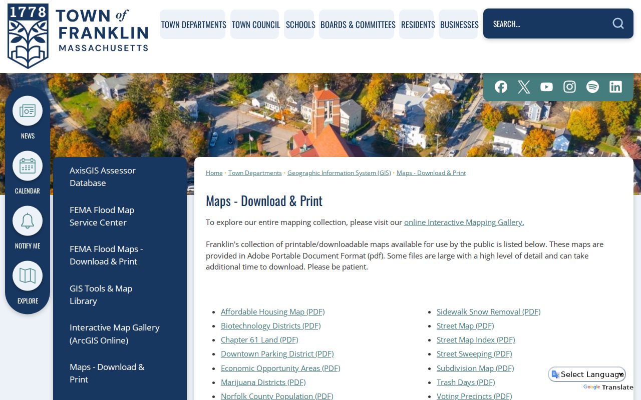
The street map and index are especially useful for checking the municipal street spelling before a USPS query. A precinct, zoning, or flood layer has its own source and update cycle, so its label should stay with the result.
Note: A mapped parcel is geographic context, not a legal survey or proof that a postal ZIP follows the parcel boundary.
Search a Franklin ZIP Carefully
A ZIP can narrow an address question, but the next record must fit the question. USPS checks delivery formatting; GIS checks mapped geography; an assessor card provides assessment context; and a deed supplies a recorded instrument. Franklin's property route can be useful once an address is known, while a complete street-by-street record chain belongs on the Franklin by-street directory page. Do not turn a postal clue into an inference about who is currently present.
- Enter the complete address, city, and Massachusetts in the USPS tool.
- Save the standardized postal form and ZIP returned by USPS.
- Compare the street and parcel geography with Franklin GIS or the printable street map.
- Use the relevant assessor, deed, permit, or historical source only for its own documented question.
- Label any result as postal, mapped, assessment, deed, or historical evidence, with its date.
The Town's municipal request route is appropriate when a specific public record is not online. A precise request should identify the department, record type, date range, and street or parcel rather than asking for an undefined ZIP-wide list.
Franklin Postal Search Limits
The Town links Patriot Properties through its GIS resources for property information. The saved capture shows the property-record entry point, but the research did not verify its live field labels, a ZIP filter, result fields, or date coverage. The official Town gateway confirms property-card, deed, plan, and map access, not a ZIP-wide search. An owner name may be available in an application, but that was not confirmed in the inspected text.
The Patriot Properties screen is included as a Town-linked property-record route, not as evidence of a Franklin postal-area filter.
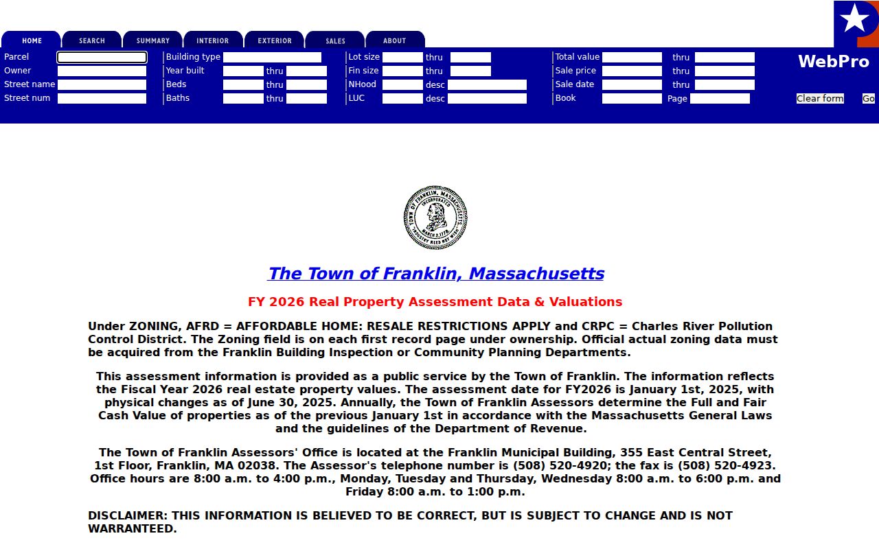
For a known parcel, distinguish property location, record owner, and tax mailing address. An assessment or mailing field is not proof of current occupancy, and a missing online result does not establish that no historical record exists.
Franklin Postal Terms
Postal terms are easy to overread. Knowing the difference helps keep a Franklin postal result in its proper place beside Town and county records.
- ZIP code
- A Postal Service delivery code used to route mail. It is not a political boundary or a resident roster.
- ZIP+4
- An added four-digit delivery detail used with a ZIP. It refines postal routing but does not change municipal jurisdiction.
- PO-box ZIP
- A ZIP used for post-office boxes. The research did not identify one for Franklin, so none is asserted here.
- Unique ZIP
- A ZIP associated with one large organization or destination. No Franklin example was verified in the research.
- Carrier route
- A mail-delivery grouping. It is not the same thing as a Town district, parcel line, or census area.
Franklin ZIP Boundaries and Town Lines
ZIPs are delivery constructs. A preferred postal city, a political town, a parcel boundary, and a Census ZCTA can overlap without matching. ZCTAs are generalized statistical representations, not USPS delivery routes. MassGIS municipal-address data adds standardized address and NextGen 911 context, but it is not a public resident file. The practical Franklin method is to keep the ZIP result and the Town GIS result as separate facts.
A historical city directory may name Franklin without any ZIP at all. A voter or assessor record may use a municipal address that differs from the USPS preferred city. Those differences are clues for checking records, not contradictions to solve by guessing.
Franklin Records Before ZIP Codes
Most Franklin historical sources predate ZIP codes, so a ZIP code directory search cannot replace a dated town and street check. The Franklin Public Library collection includes directories from 1884, 1890, 1893, 1899, 1902, 1905, 1909, and 1913, as well as resident lists from later years. The 1890 resident and business directory includes Franklin and surrounding towns. Confirm the town heading before carrying a name or address into the next record.
Use the source year to bridge old and modern geography. Franklin's street-layout record spans 1785 through 1921. Town maps from 1795, 1832, and 1876, Sanborn sheets from 1889, 1904, 1919, and 1927, and valuation material for several years can show changing road or building context. A historic street reference should be matched to the library image or page, then compared with the present Town map and USPS result. An absent ZIP in an old directory is expected, not a failed lookup.
Franklin is the Norfolk County town, a useful guardrail when an older record is sparse. Keep the repository, town name, year, and page reference together before comparing it with a current postal result. That sequence prevents a nearby-town listing or a modern ZIP assumption from changing the meaning of a historical entry.
Franklin ZIP Results Are Limited
ZIP 02038 is a useful Franklin search clue, not a person identifier. USPS proves a postal match; GIS proves mapped geography; an assessor card proves an assessment record; a deed proves a recorded instrument; and a historical directory proves a publication entry at its date. None alone creates a complete resident directory. Massachusetts confidentiality protections also mean that protected addresses and confidential voter information must not be inferred from public fragments.
Use the least sensitive source that answers a family-history, property, civic, or personal-record question. Stop when the source is protected, and do not use public records to contact, follow, harass, or expose anyone.